
Globe Tracing No.1

Globe Tracing No.1
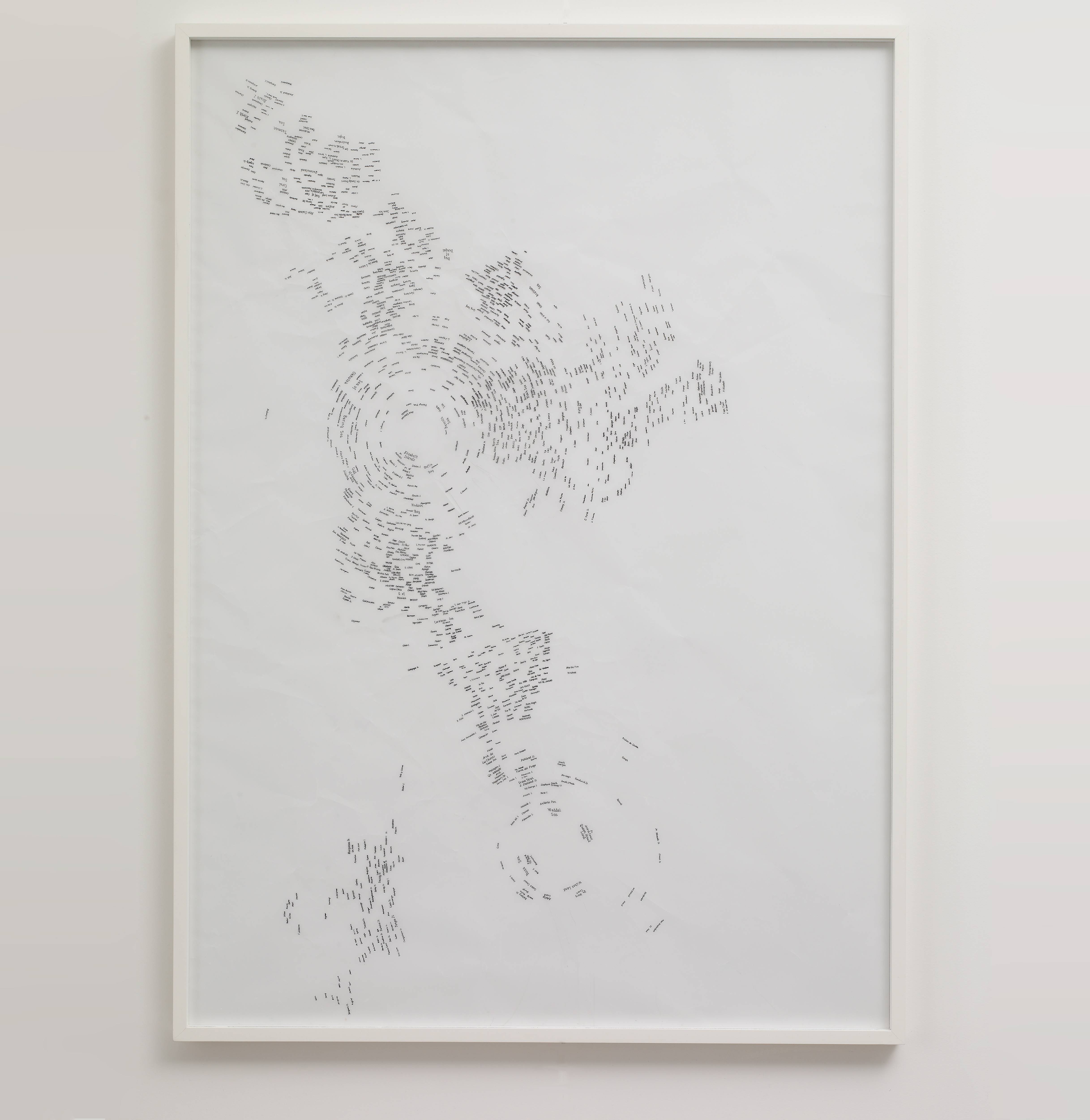
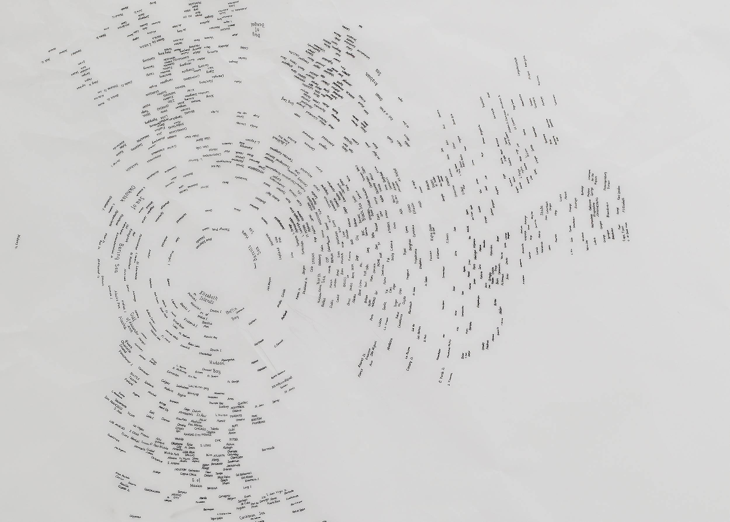
Globe Tracing No.1, 2001
91 ×
65cm,
Ink on tracing paper
Globe Tracing I was made by wrapping a sheet of tracing paper around a contemporary terrestrial globe and tracing only the placenames of the world's largest cities, omitting all the other marks which may have mapped oceans, mountains, borders and other geographical features. On these stripped-back maps, the placenames stand in for landmass, each continent created from a collection of words.
This work is from a series of drawings where the artist explores the mathematical problems of translating a three-dimensional entity, such as the globe, into a two-dimensional form and the distortion and biases this creates.

Celestial Globe Tracing

Globe Tracing No. 6
Globe Tracing No. 8

Hemisphere Tracings (Northern Hemisphere, Southern Hemisphere)
Lunar Hemisphere Tracings
Exhibitions
