


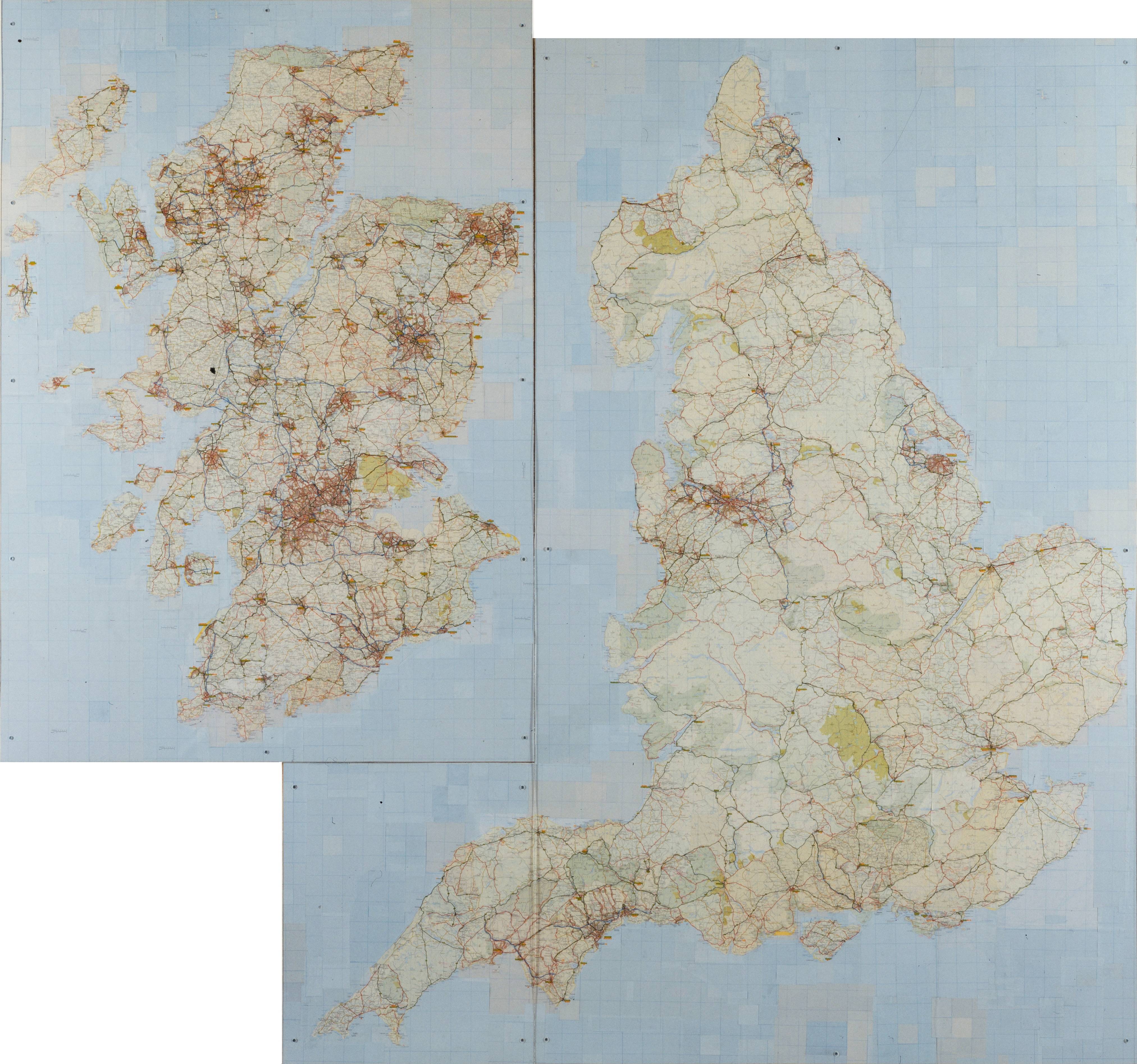
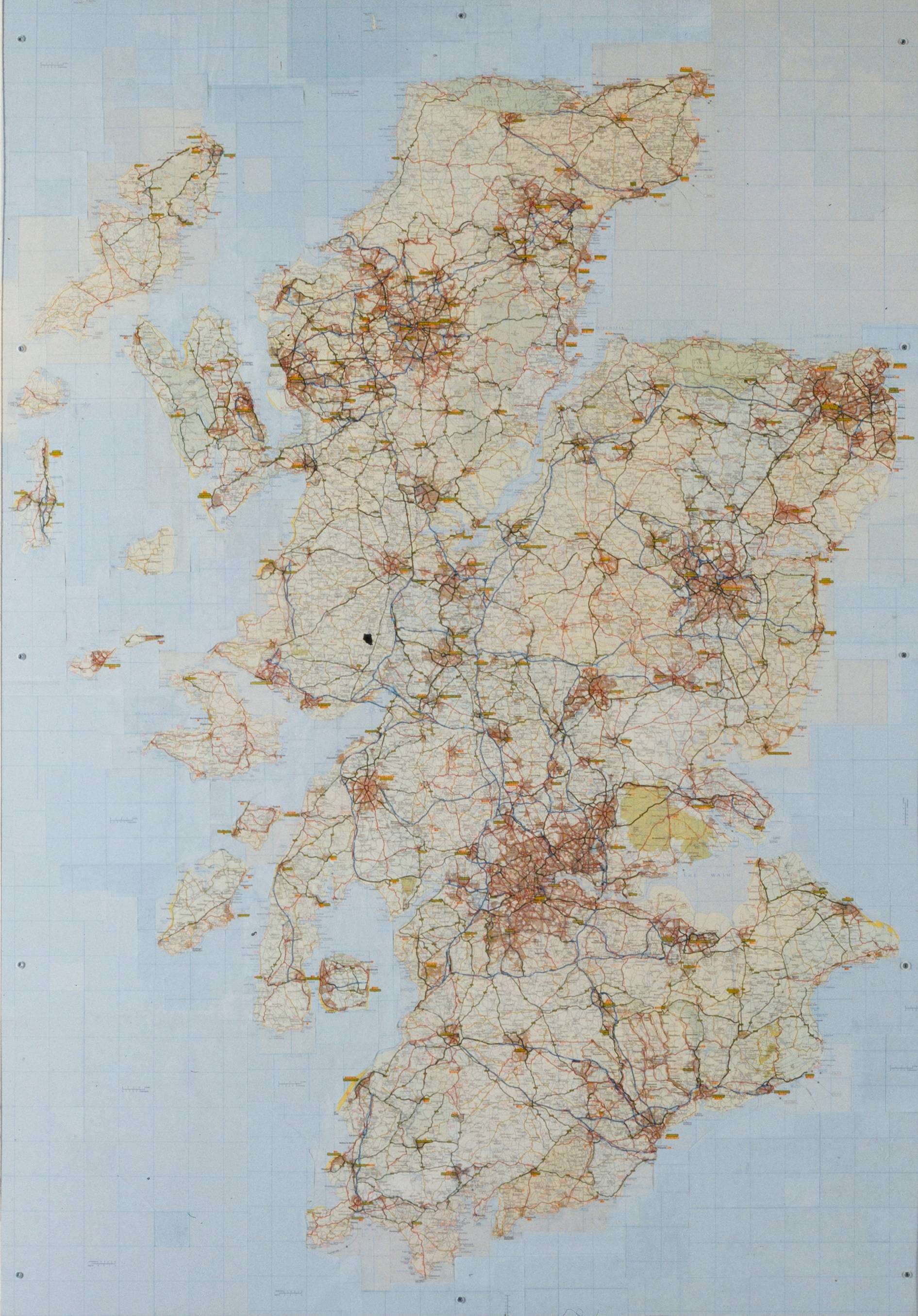
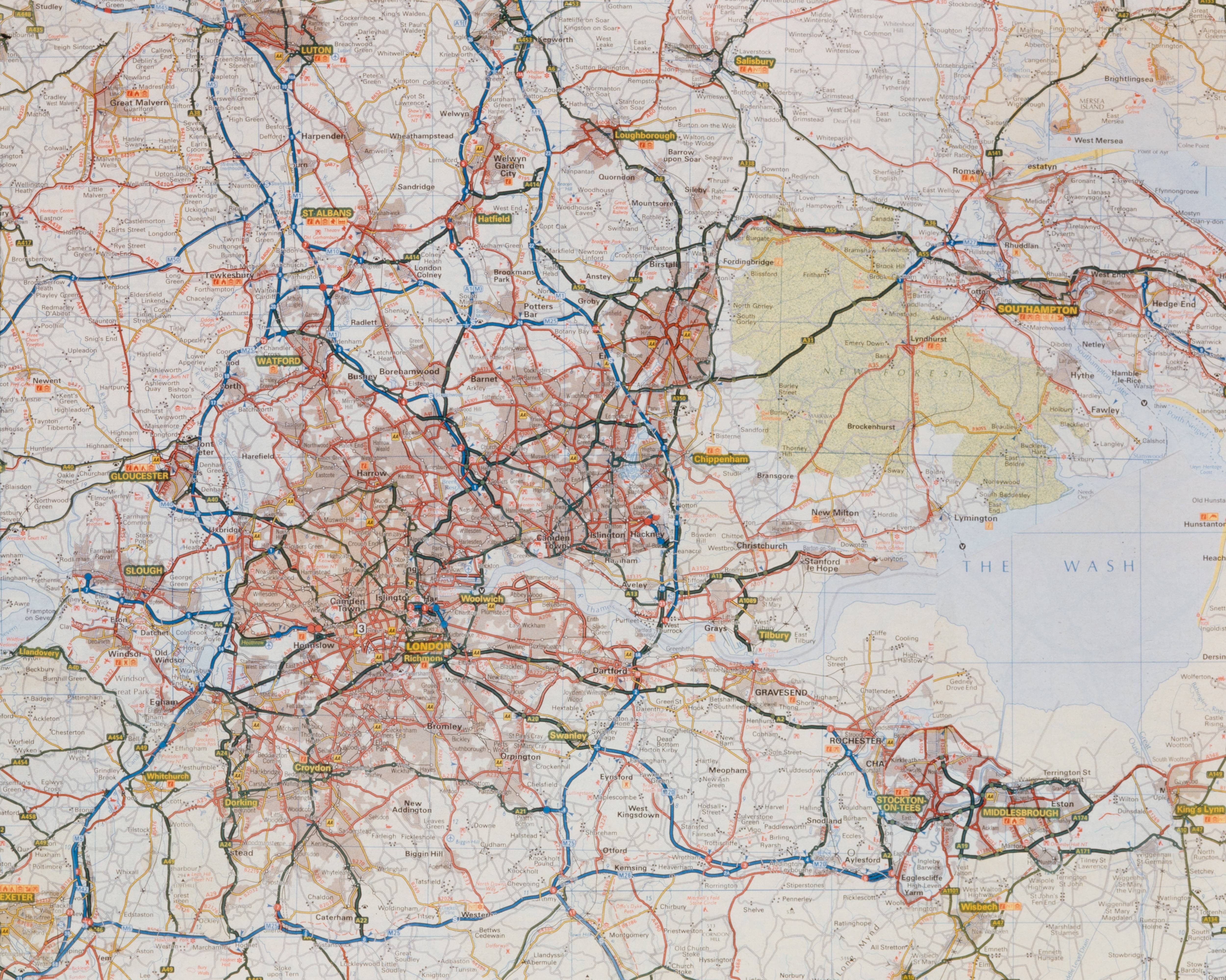
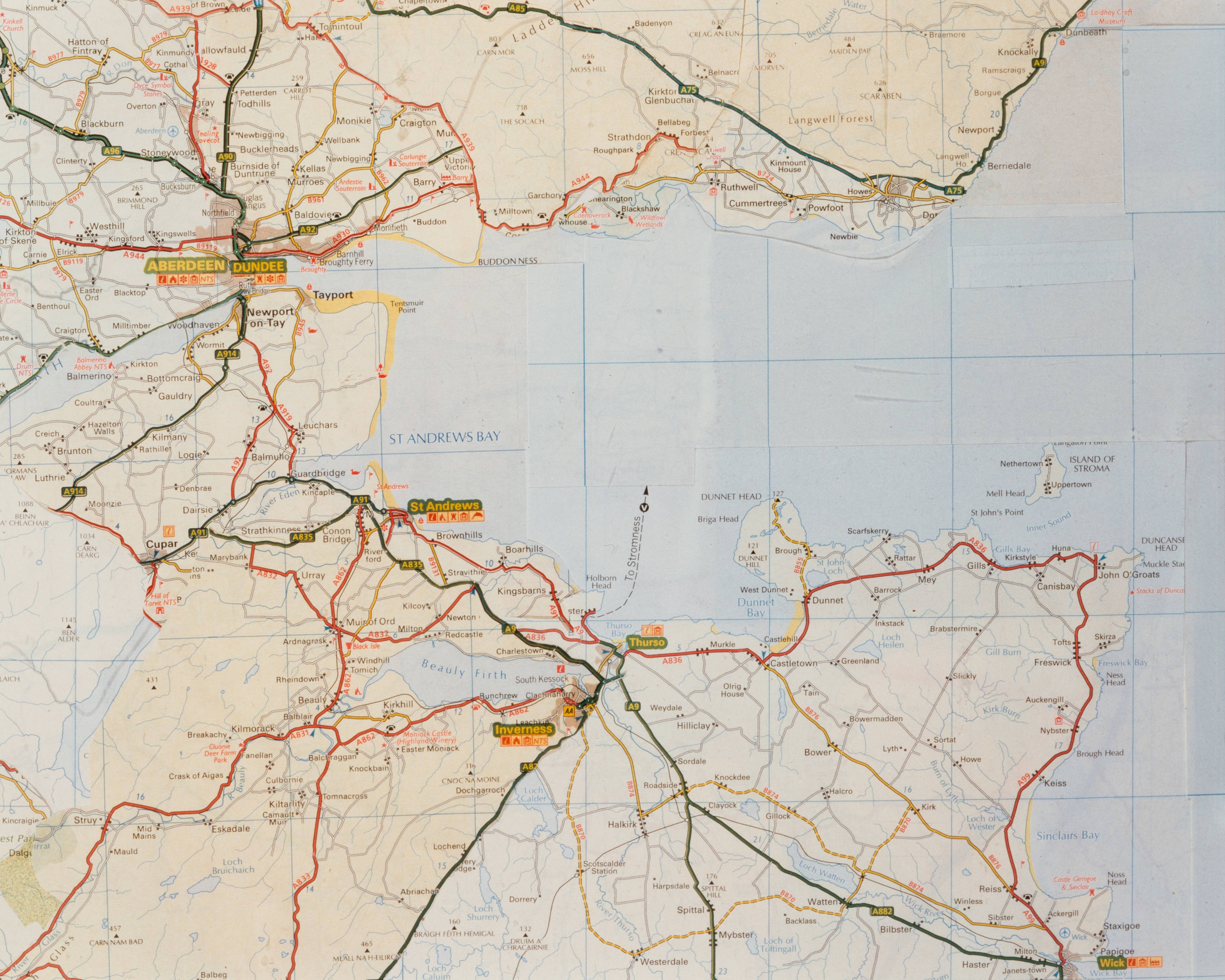
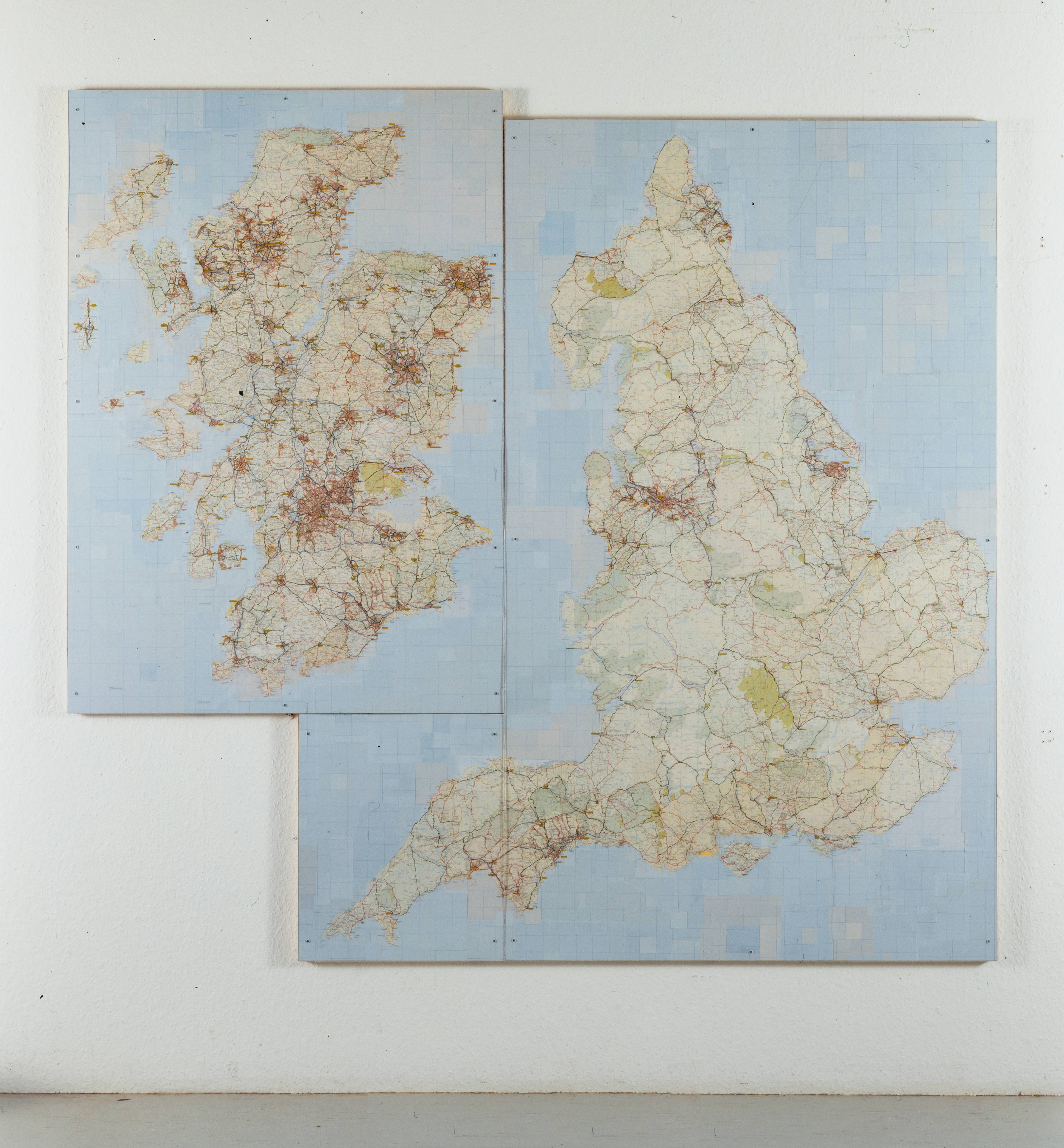
The United Kingdom, 1999
'By imposing the details of one geographical area upon the outline of another, Curtis raises fundamental questions about place and national identity.' Elizabeth Manchester, Tate 2003
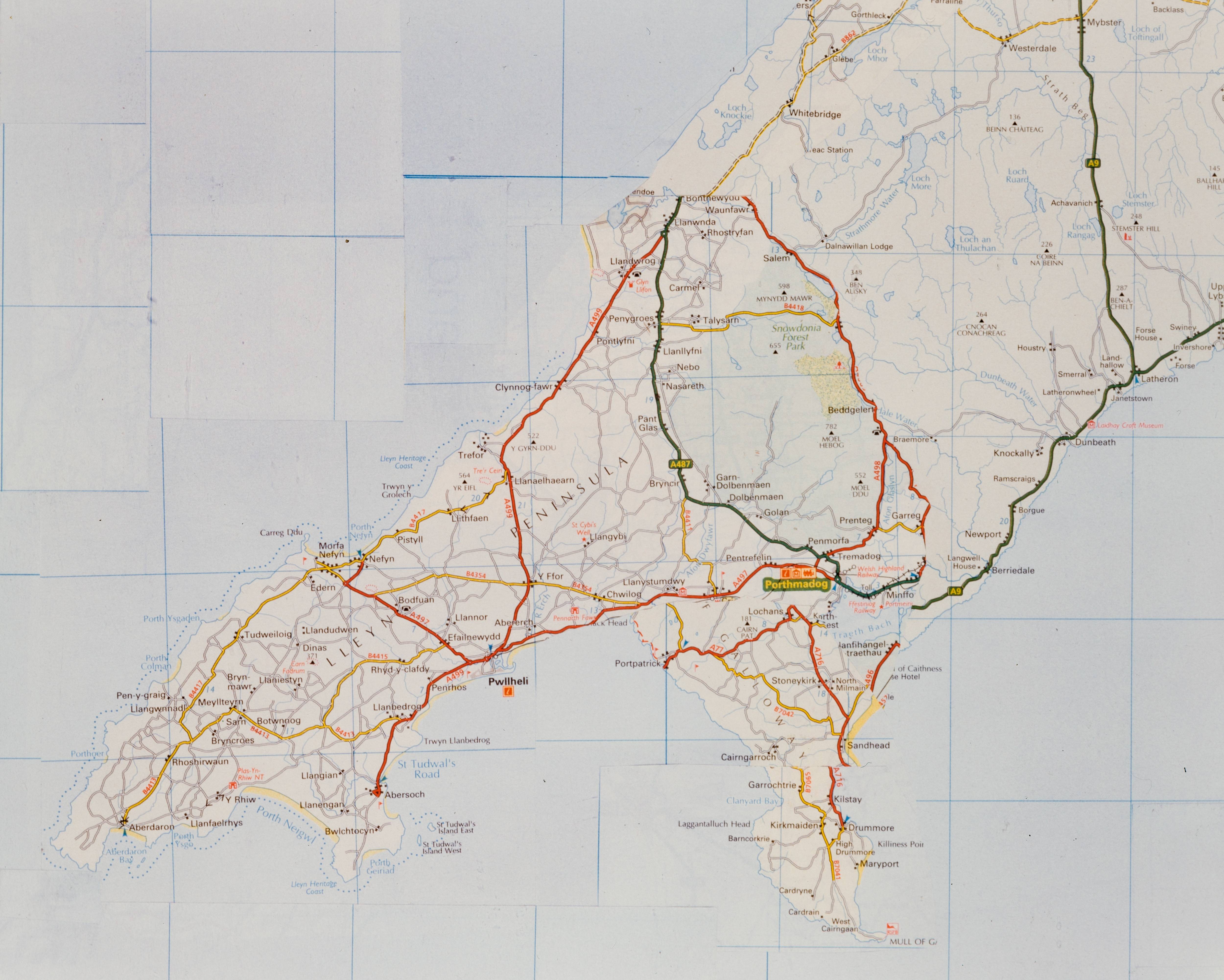
United Kingdom is a large collage presenting an altered version of the road map of the United Kingdom. It is created from fragments of maps, cut from commercially produced UK road atlases, and re-arranged to create a work that is plausible, at first glance, as a genuine map. The collage has been carefully designed, so that roads appear continuous and navigable, conferring authority on the map. Yet on further investigation, the artist's disorientating manipulation of the map is revealed; Scotland and England are presented as separate islands, with Scotland occupying the position usually held by Ireland. Road systems are exchanged so that Scottish, Northern Irish and Welsh roads, cities and towns are redistributed within the English border. English, Northern Irish and Welsh territory appear within the Scottish landmass. Through this transformation, formerly coastal towns become landlocked, cities far from the sea become coastal destinations, densely populated cities occupy once rural highlands, and some names designate more than one location.
United Kingdom was researched while the artist lived in Edinburgh during the period of Scottish devolution. It was completed the following year during the establishment of the Scottish parliament.
